Part 7 | #BoostYourBusiness Series
You may not know it, but agricultural businesses and location data services are an ideal match. In fact, despite the industry’s old school mentality, the use of location data has become a best practice for some of the more successful companies in agriculture and farming. And, with the recent prevalence of droughts, arctic storms, hurricanes and other severe weather-related emergencies, you can start to see why. But that’s just the tip of the iceberg.
Here are a few examples of just how location data can boost the bottom line for companies in agriculture and farming:
Track Valuable Farm Equipment
![]()
Agriculture equipment is one of the biggest overhead costs for those in the farming industry. For example, tractors can cost anywhere from $100,00 to $450,000 to purchase. Labor costs aren’t cheap either, as the mean hourly wage for a Heavy Tractor Operator is $25.83 per hour in North Dakota. [1][2]
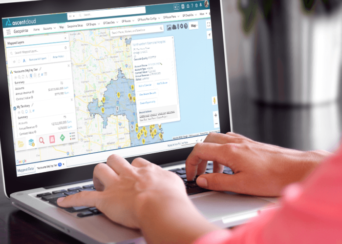
Luckily, location data services such as Geopointe’s Live Vehicle & Asset Tracking can help manage those heavy overhead costs responsibly, so you get the most use out of them. With Live Vehicle & Asset Tracking you can see exactly when and where equipment is moved or turned on during business and non-business hours to help protect against loss. Need to keep your equipment in optimal condition? Create automated maintenance schedules for vehicles when they hit specific usage rates. Or, maybe you’d like to identify your most efficient Heavy Tractor Operators? Live Vehicle & Asset Tracking can help track efficiency patterns in employee workflows, so you know which of them to bring back next season.
Adapt to Weather & Climate Changes
From large-scale crop freezes to historically long droughts, the agriculture industry is always at the mercy of the weather. And, while the ability to check weather patterns online is relatively simple in today’s digital age, the ability to place those weather patterns over a specific farm or ranch on an interactive map is extremely valuable.
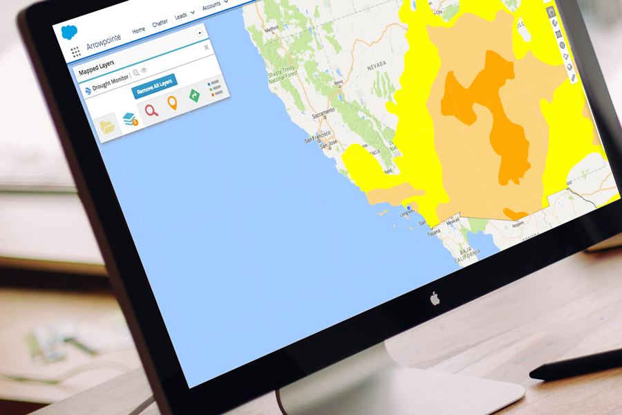
Using KML layers within Geopointe, like the drought monitor layer (pictured above), agriculture professionals can anticipate problematic weather conditions and take action to prevent the loss of crops. For perspective, in 2007 as much as 70 percent of California’s $1 billion orange crop was destroyed by record cold temperatures across the state in less than a week. While instances like the freeze in 2007 are not always avoidable, geolocation technology can help farmers identify extreme weather patterns and take preventative action earlier than those not using location data. [3]
Identify Location-based Food Trends
Regional food buying patterns tend to be dependent on demographic variables that can often be difficult to pinpoint. As ground zero for where most natural food comes from, agriculture professionals need to identify these trends to guide their seasonal strategies.
With the help of location data tools, agriculture professionals can access key location data insights about their customers to know where to focus their sales efforts. Growers can now quickly identify local stores, farmers markets and wholesalers with an obvious demand for their crops. Wholesale distributors can identify areas to hyper-focus their sales efforts by mitigating time spent making calls to buyers without a need for their product. From top-to-bottom, location data can help agriculture professionals optimize their process and fine-tune their overarching strategy each season.
Want to learn how geolocation is driving success in other industries? Follow the link below for more use cases by industry!