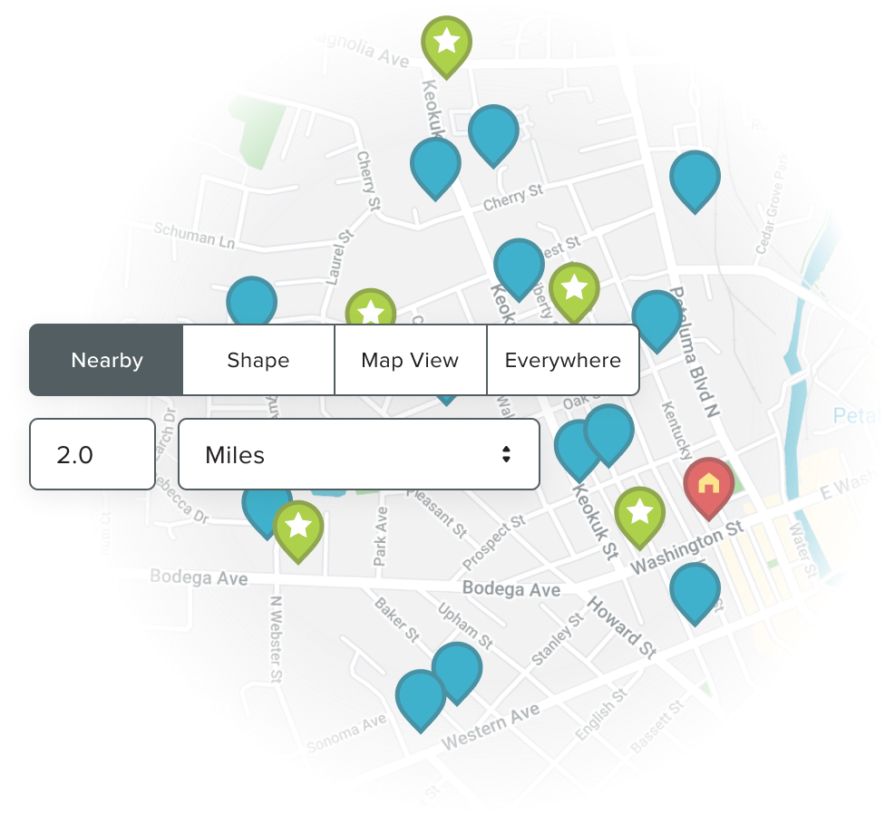
Planning a business trip can be stressful, especially when you have lots of customers to visit. Features like Calendar-Based Scheduling, Routing and Nearby Search help you plan out your journey for maximum efficiency.
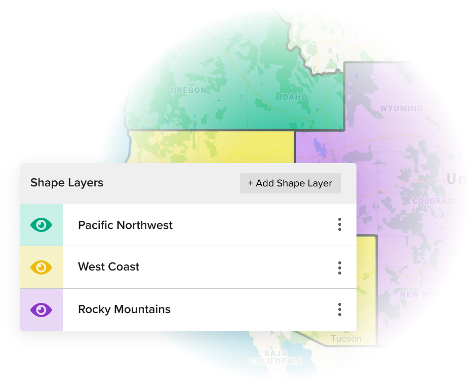
Having trouble managing sales territories and ensuring they’re equitable for all reps? See how features such as Shape Editor and Automated Assignment can help you intelligently map out your territories and grow revenue.
The amount of data housed within a sales spreadsheet can be overwhelming and difficult to interpret. Ditch the rows of black and white data and use features such as Thematic Mapping or Heat Mapping to paint a picture of your data.
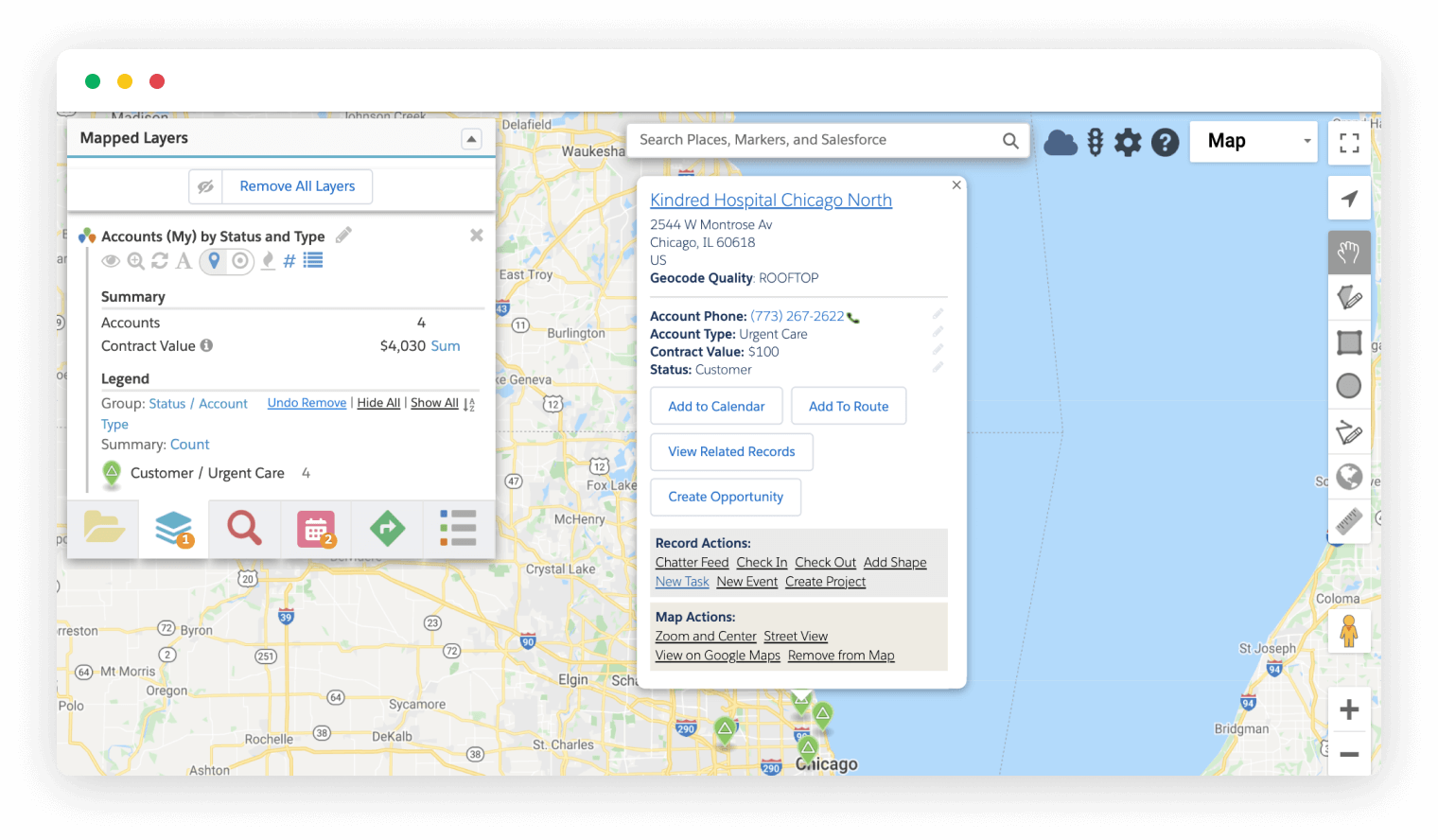
Actions like exporting, adding to a campaign and creating leads from the map are built-in and it’s easy to create your own to launch custom processes…
Read More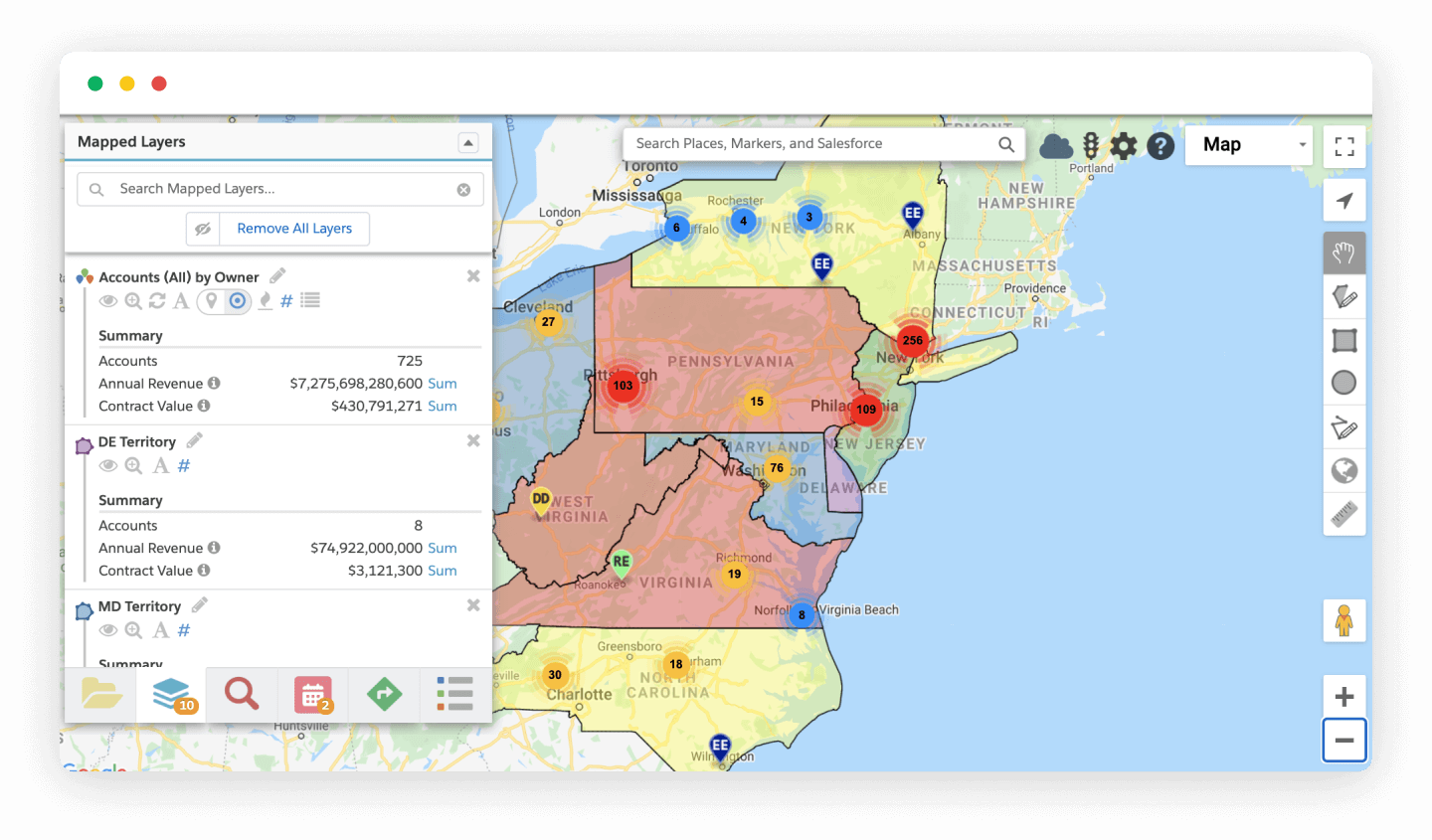
Locate any Salesforce data, anywhere in the world. Perform searches & get the big picture using advanced visualization & filtering…
Read More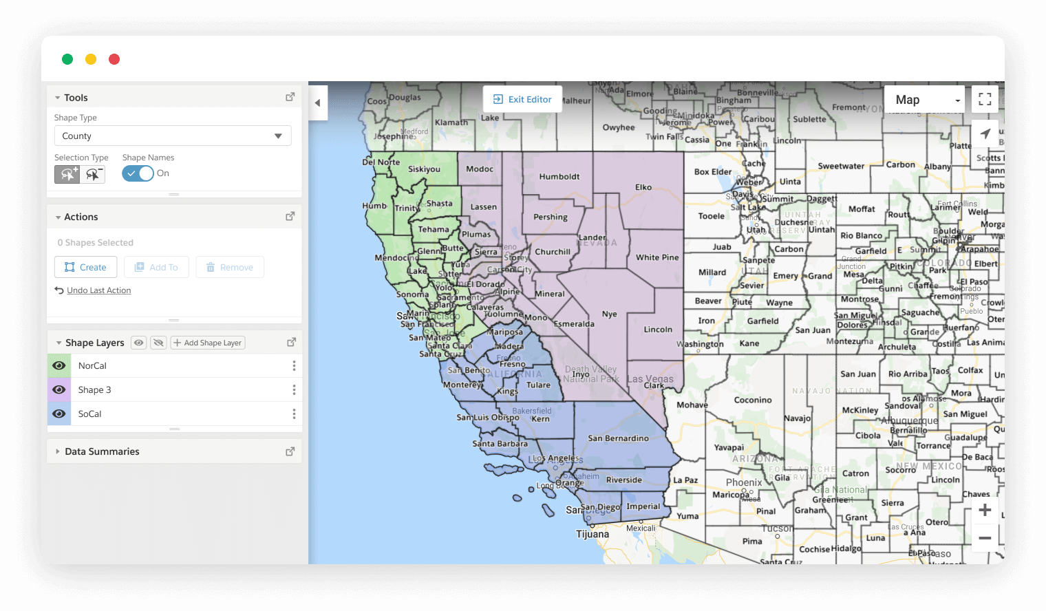
Visually build territories using the Geopointe Shape Library, then use geographic insight to fine-tune and manage…
Read More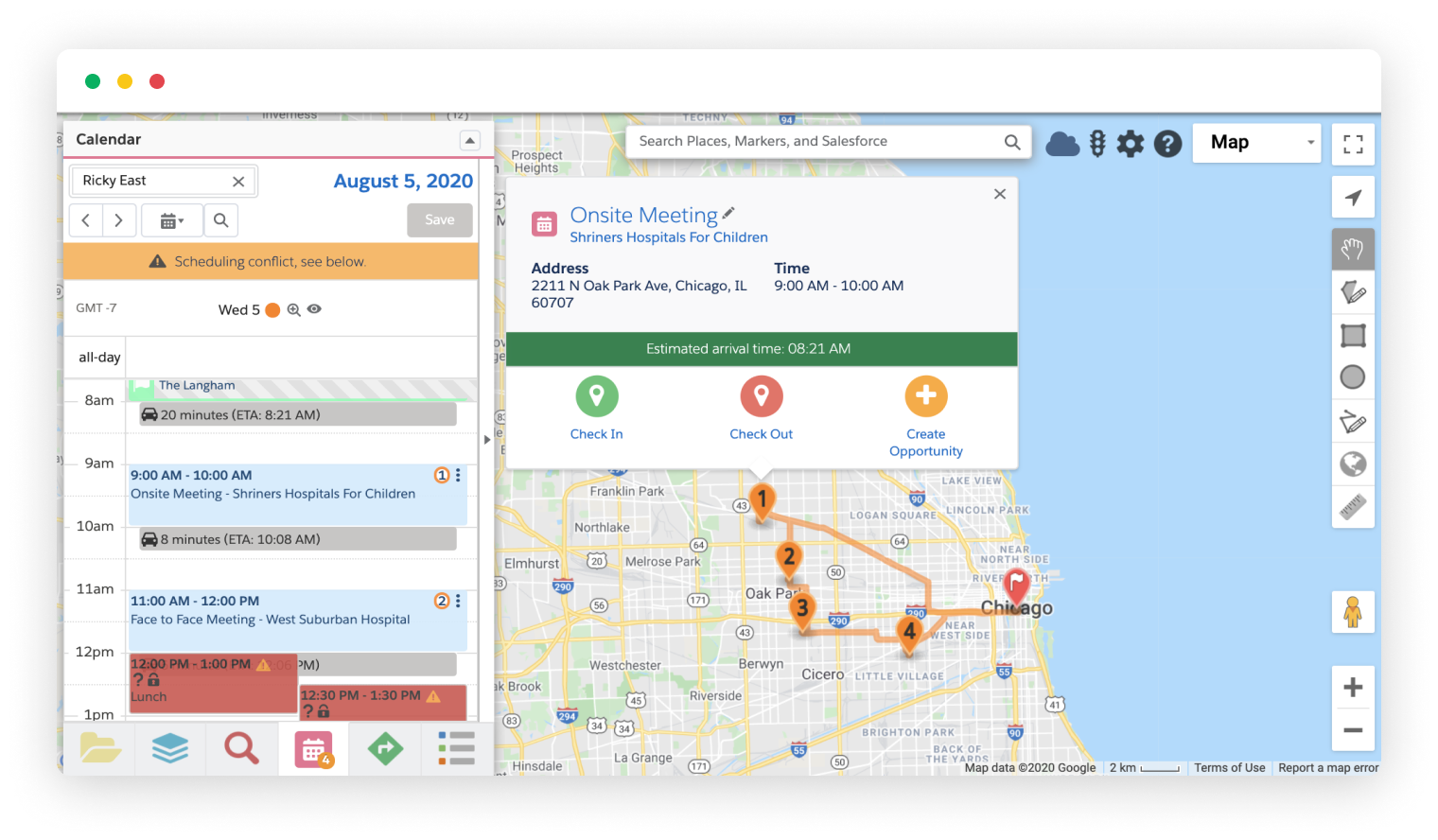
Manage any user’s schedule with geographic insight using Geopointe’s dynamic Calendar-Based Scheduling interface…
Read More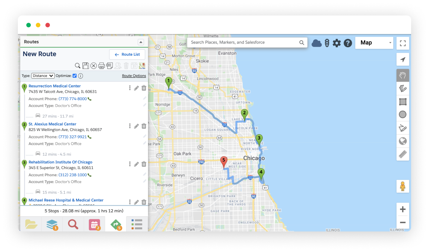
Plan, build and execute your travel plans in Geopointe. Routes can be built from any mappable data (Salesforce, Google or any address)…
Read More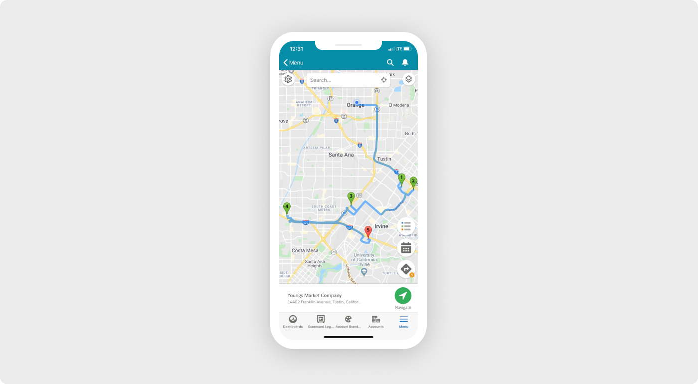
Geopointe runs right inside the Salesforce mobile app so you can maximize your time in the field, access routes, check in/out of loca…
Read More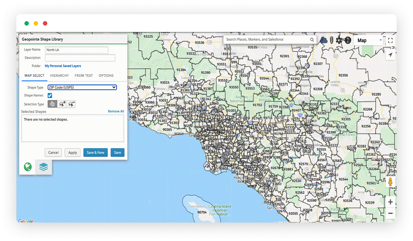
Geopointe includes a powerful visual editor to create shapes from predefined boundaries (e.g. states, zip codes, school…
Read More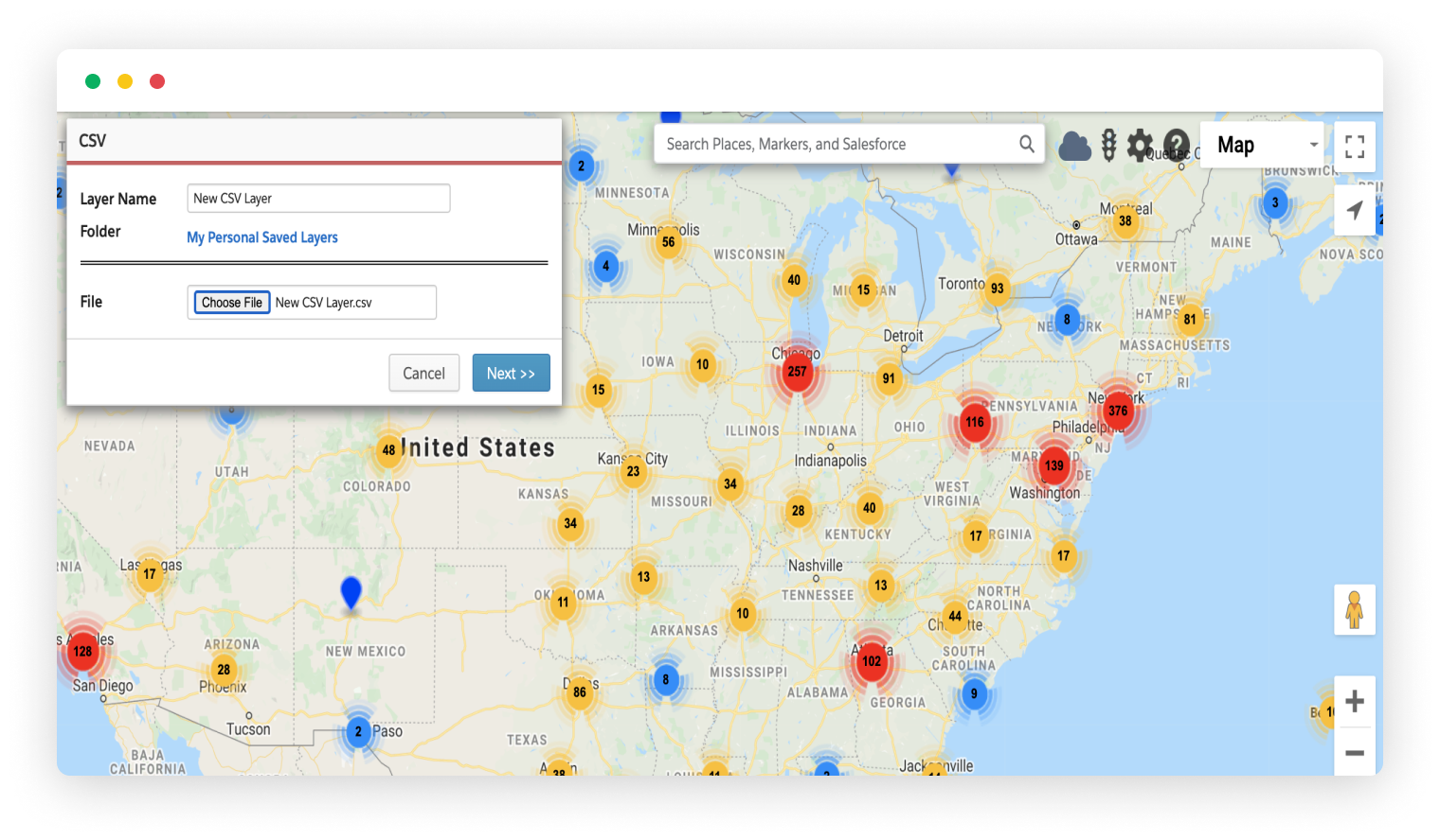
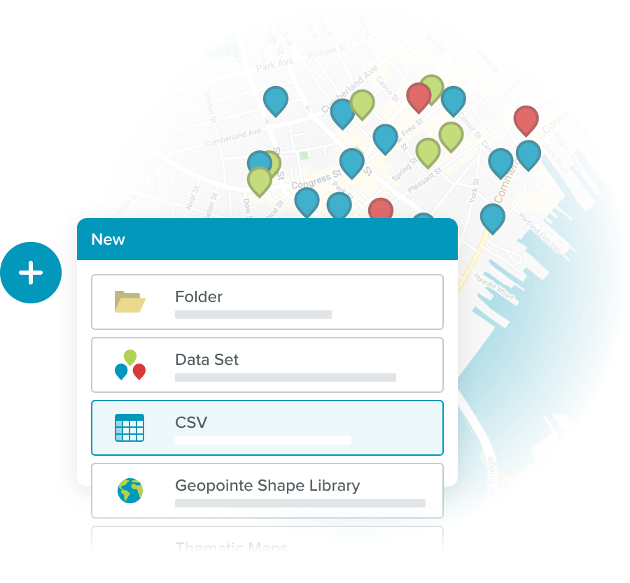
Import CSV files directly to the Geopointe Map, without the need for the standard Salesforce import method. You can save these files as new layers…
Read More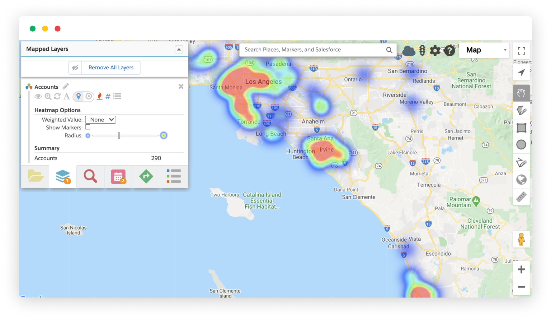
Visualize a heat map of numeric concentrations based on record count or any numeric field values you include with…
Read More
Mobile users can check in and out of their stops while in the field, confirming their location and logging information about…
Read More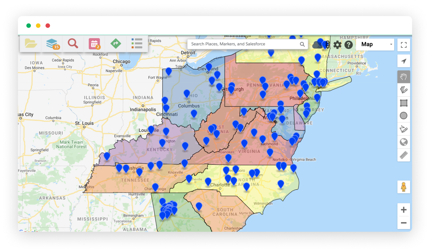
Distribute Leads or manage territory assignments with Geopointe’s Automated Assignments feature. Start by creating…
Read More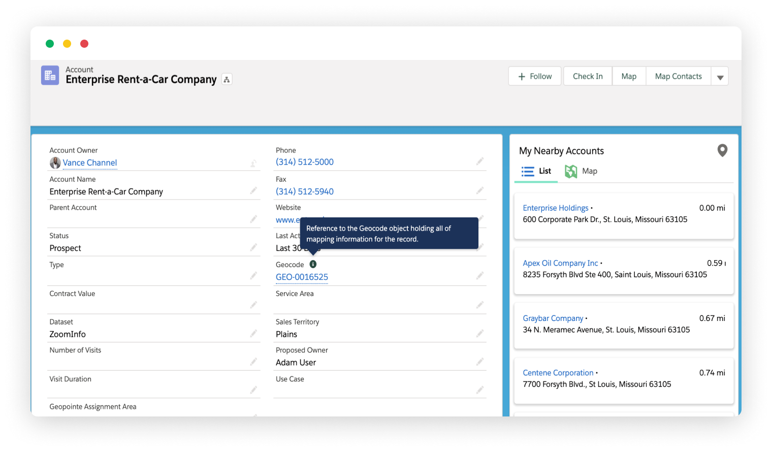
Geopointe will geocode your data using Google’s geocoding technology in order to make it available for mapping. Google’s…
Read More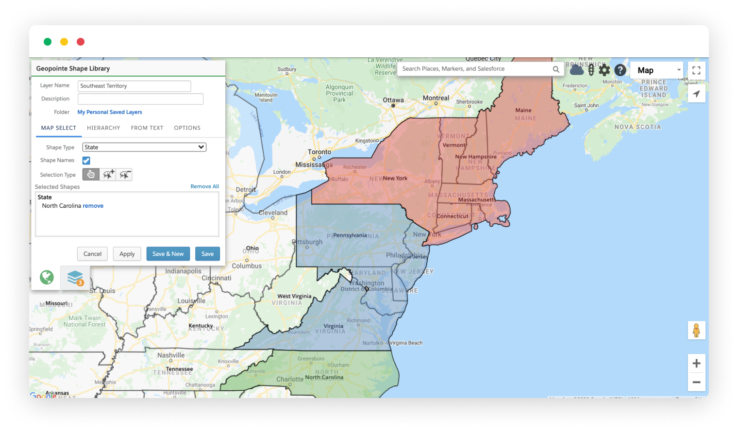
Geopointe provides a rich set of boundary data to use for searching, managing territories and coordinating location-…
Read More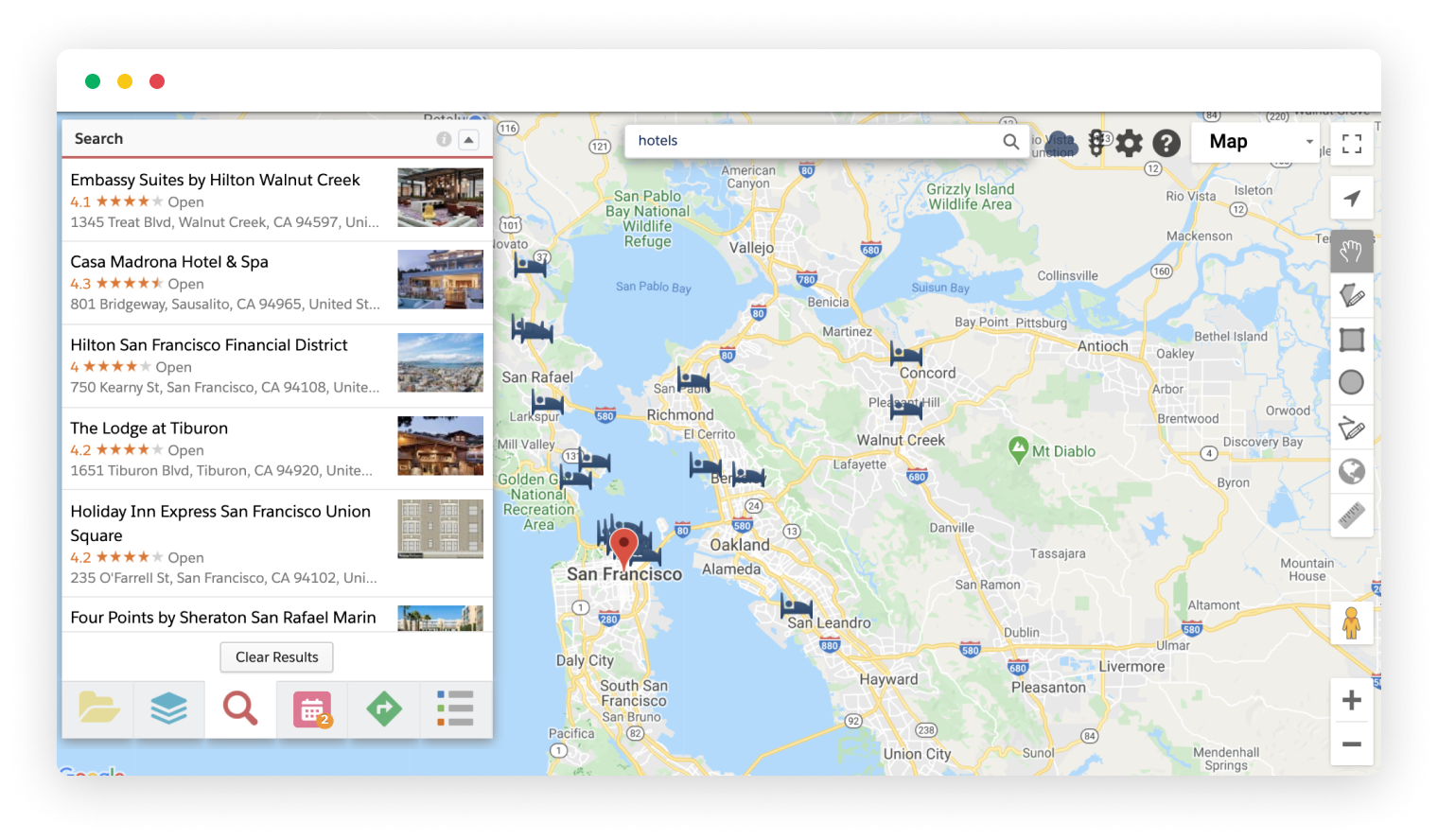
Looking to map data that isn’t in Salesforce? No problem! Use the Places Search to find businesses and landmarks…
Read More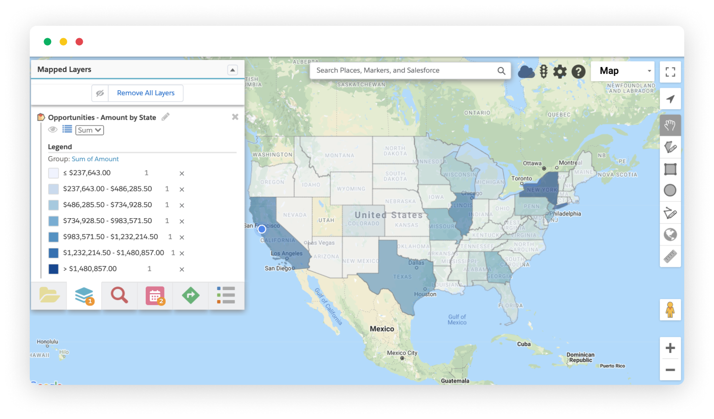
Thematic Maps help you see the big picture. They allow you to rollup a metric for any given data set and group those…
Read More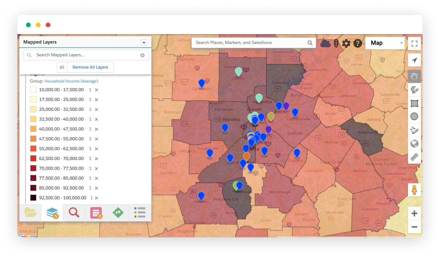
Pair your Salesforce results with US Census data to gain relative insight on metrics like household income, age, race, …
Read More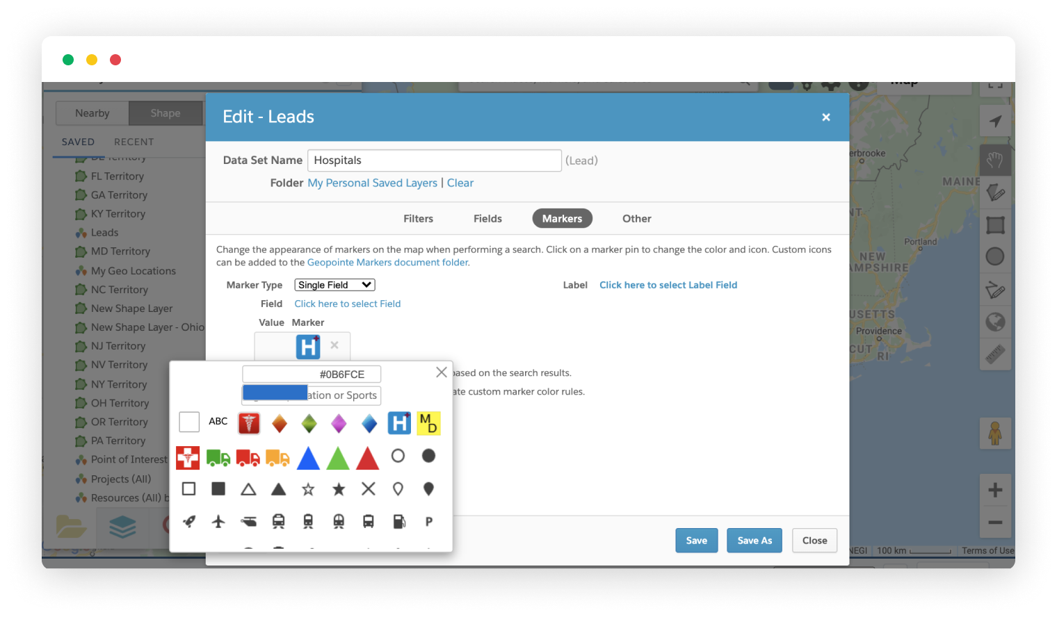
The map markers in Geopointe are customizable. They can be individually configured or be driven off of data fields…
Read More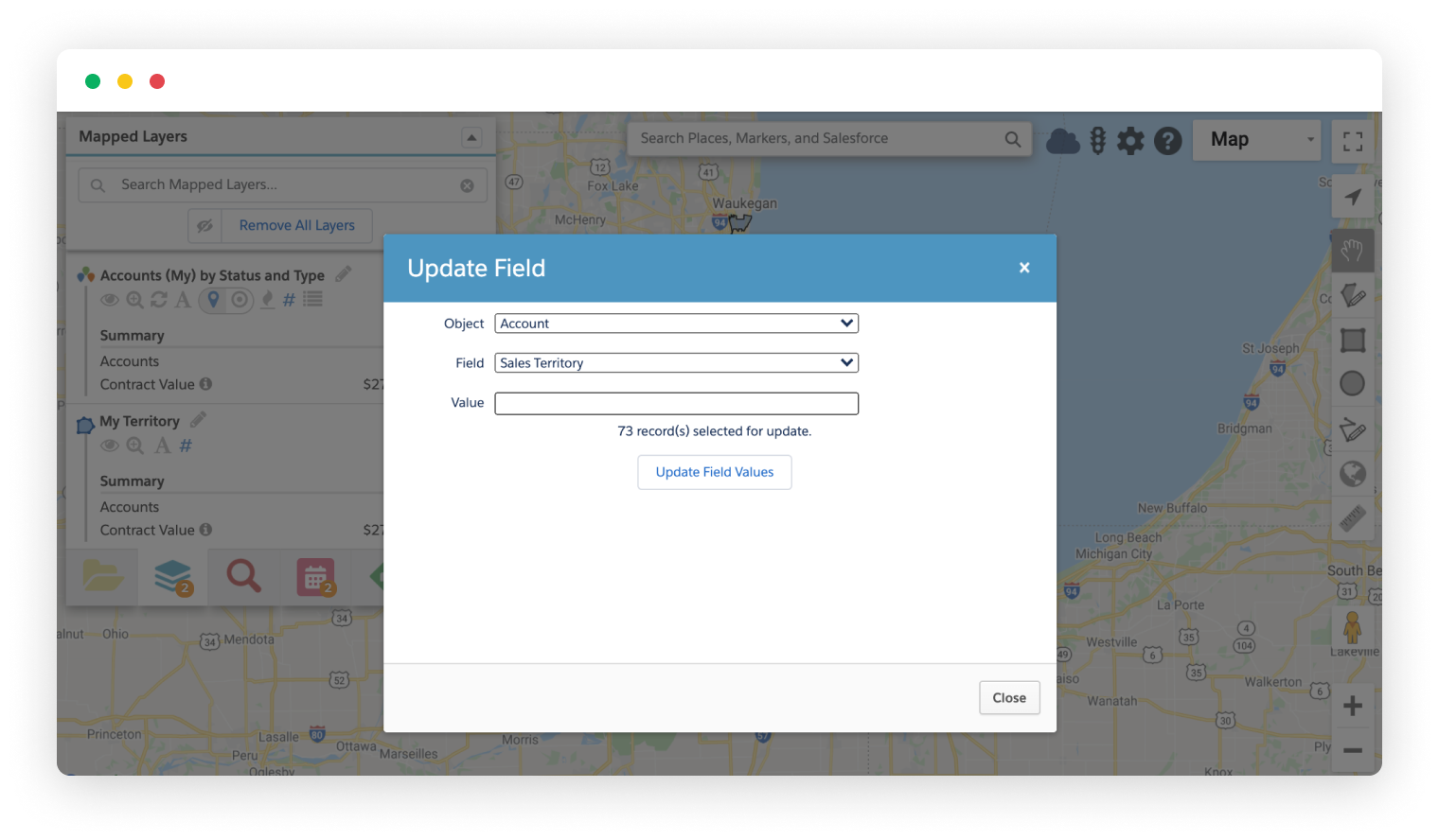
Perform mass updates of your Salesforce data with the Update Field action. This action lets you update a field to a specified…
Read More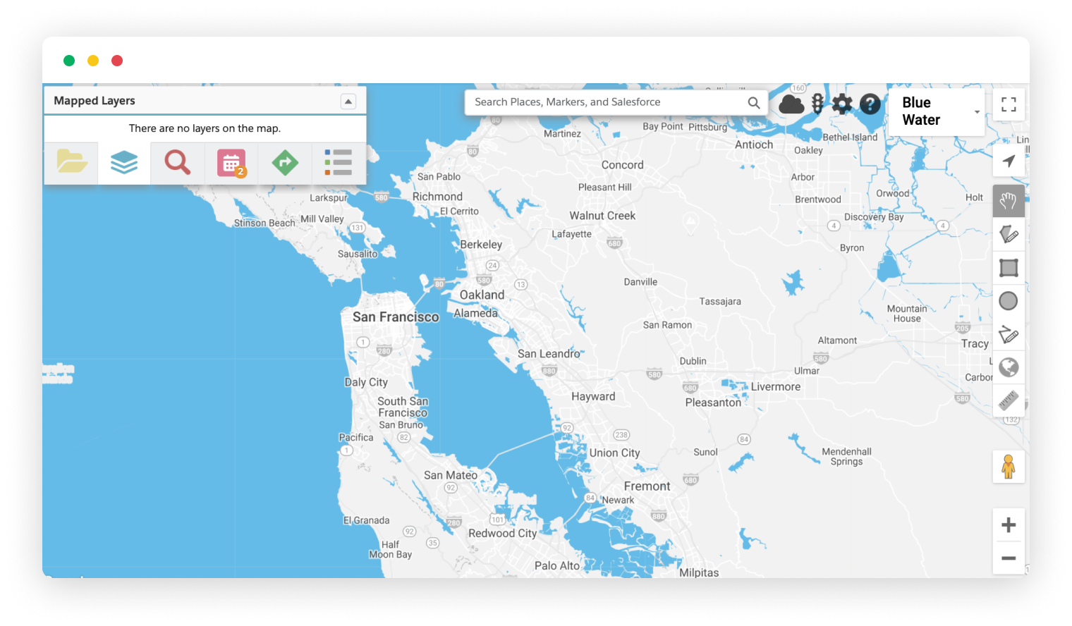
Customize the style of the base Google map to highlight different features or make your map stand out. For example, …
Read More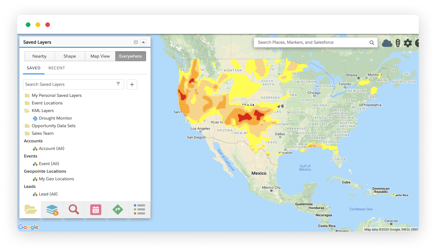
Add external data layers to the map with a click. Geopointe supports KML, KMZ and GeoRSS files, so you can overlay…
Read More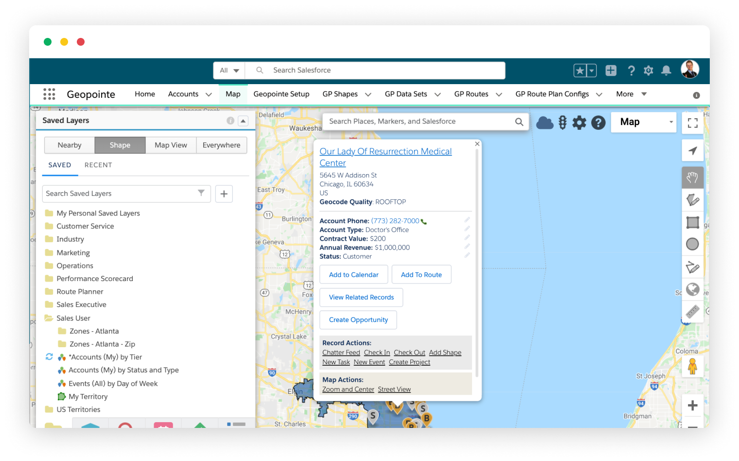
Geopointe supports the Salesforce Lightning Experience with Lightning Components but is also still accessible through the Classic inter…
Read More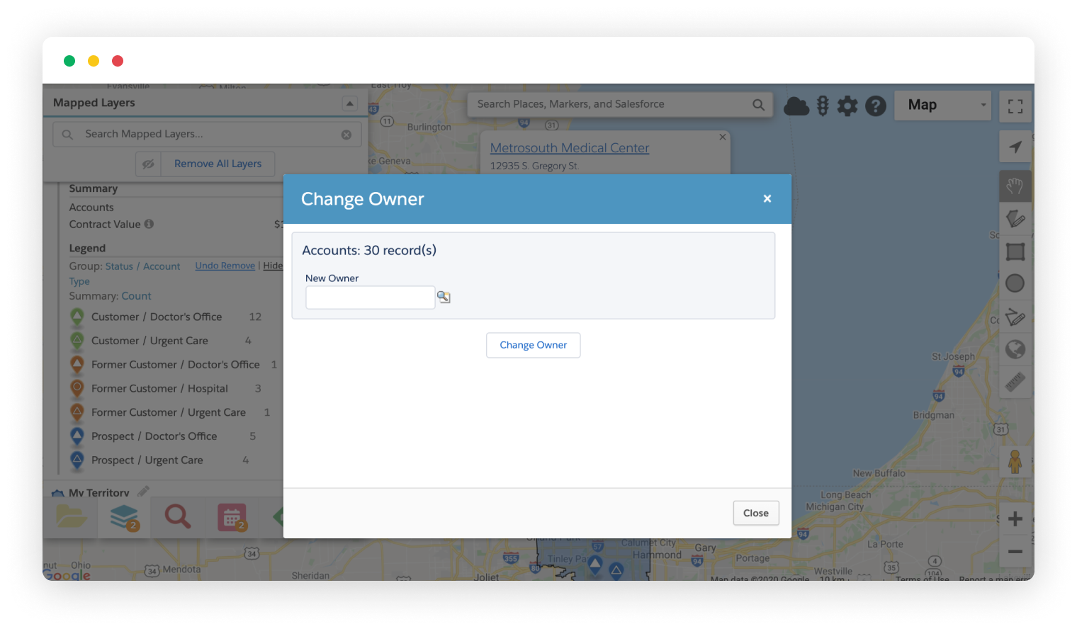
Managing record ownership in Salesforce the traditional way can be challenging, but Geopointe makes it easy. With the Change
Read More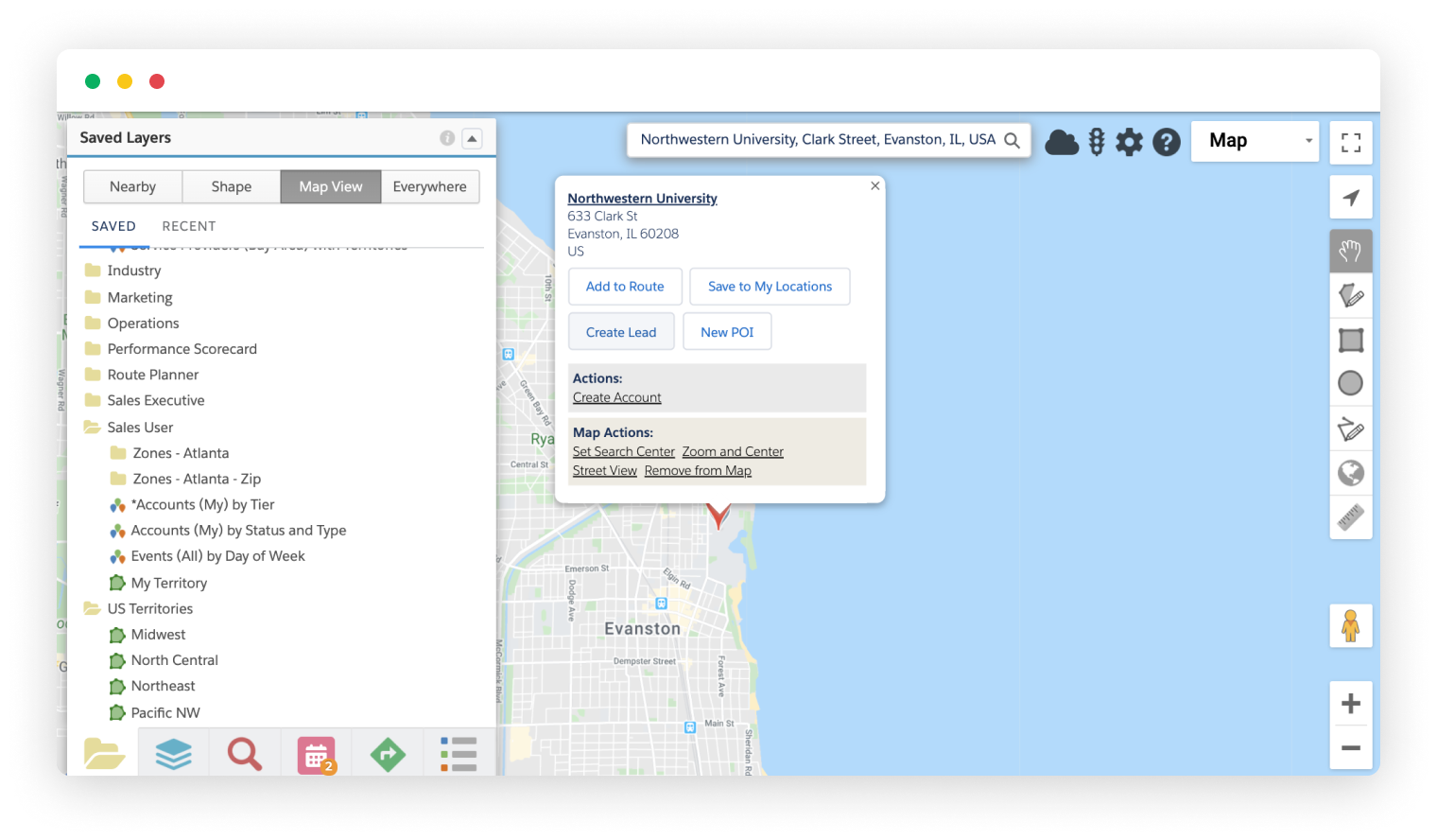
Create Salesforce records from any record, address or place on the map. Leverage the location and other available…
Read More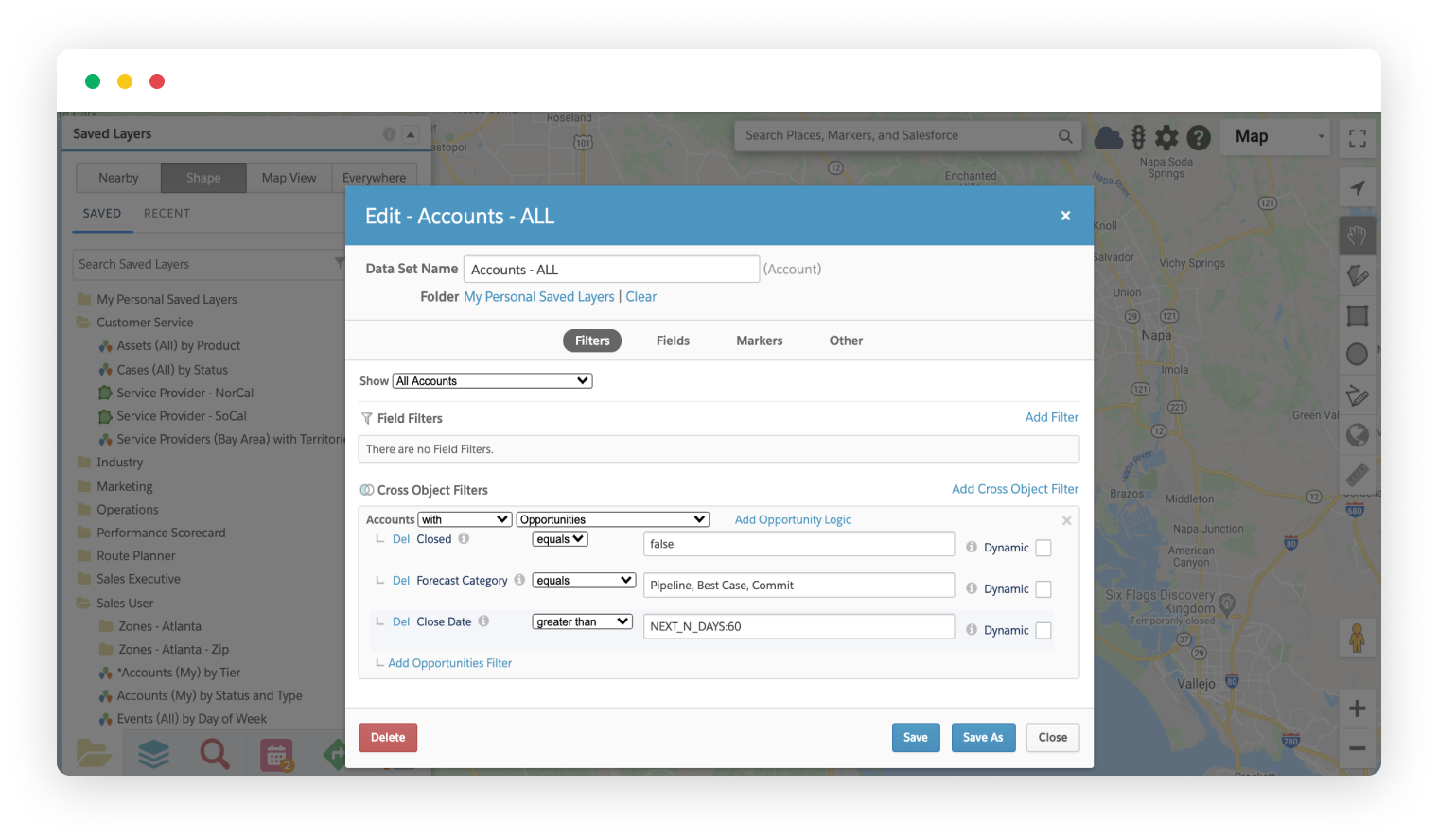
Cross-object filters add another dimension to your data by mapping records based on their relationship with other objects…
Read More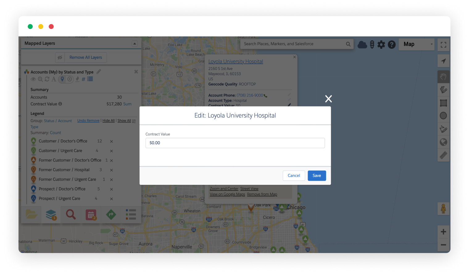
Update record fields right from the map. Geopointe honors Salesforce permissions and lets users update records on the fly, …
Read More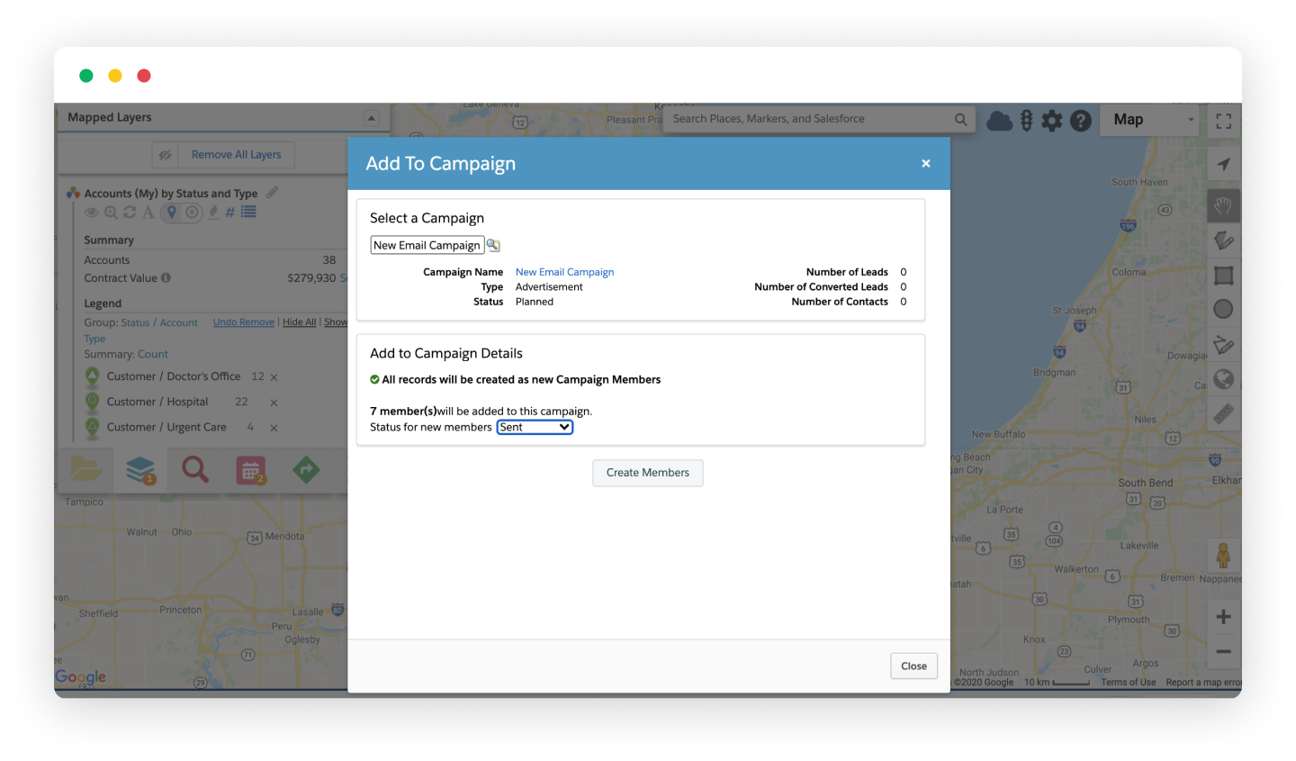
Add your mapped results to a marketing Campaign. Great for account based, targeted, and email marketing. No matter…
Read More
When using Geopointe in Salesforce mobile, users may now choose their preferred navigation app, Waze, Google…
Read More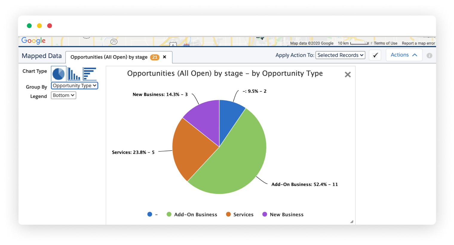
Sometimes you need more than a map to see a picture of your data. With Geopointe’s interactive charts, you can do…
Read More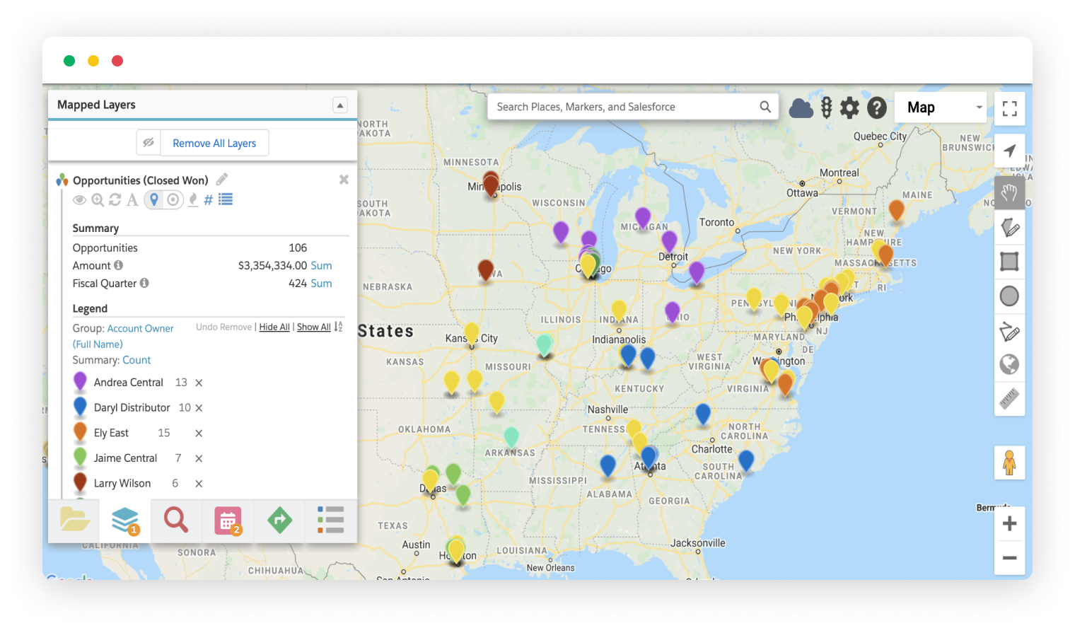
Get instant, dynamic metrics for any Currency, Number, or Percentage fields in your data set searches. See the overall …
Read More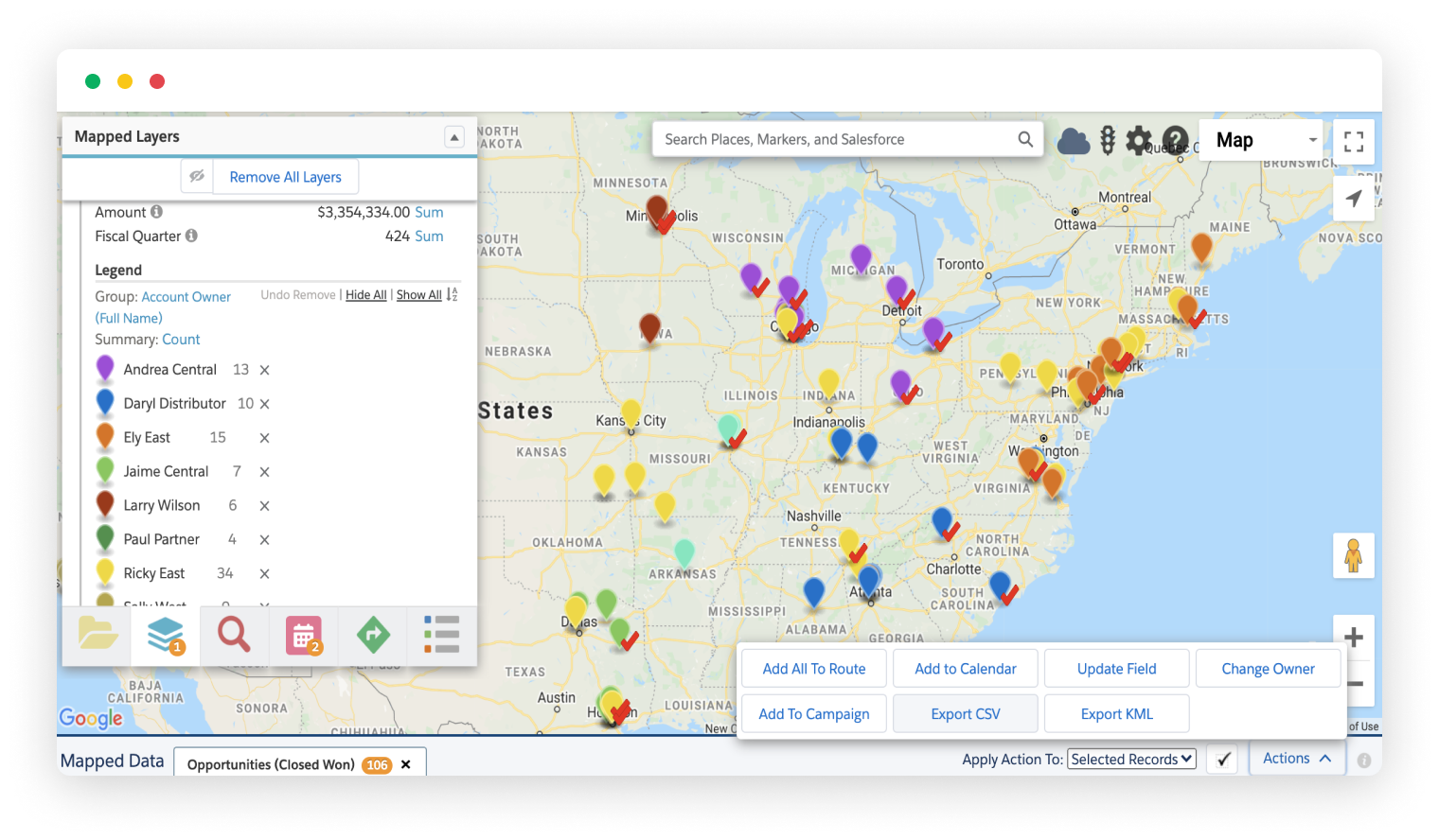
Mapped results can be exported to CSV or KML file types using built-in actions. The CSV export allows you to manipulate your …
Read More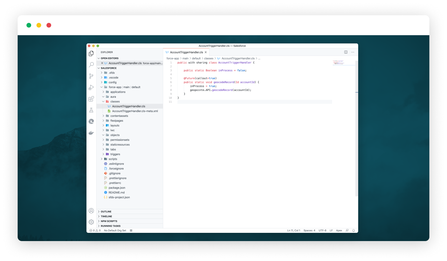
Allow your developers to harness the power of Geopointe within their Apex code. The Geopoint API Apex Class…
Read More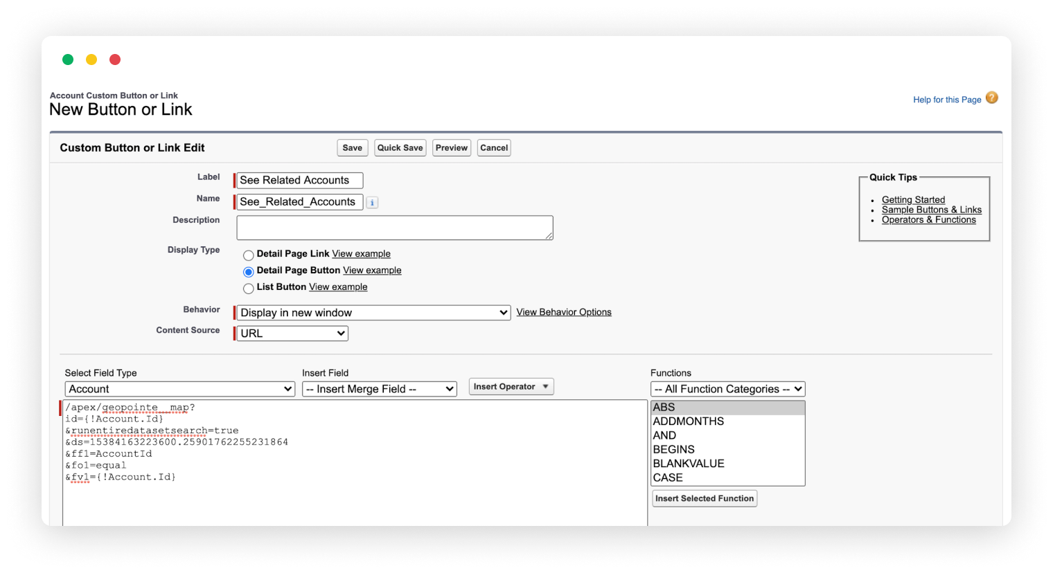
Geopointe can be instructed to perform various tasks through creative use of URL parameters when loading the Geopointe …
Read More